Somewhere To Go – Moreton Island QLD – Part Two
By David Wilson
For those who missed it >>>> Moreton Island QLD – Part One
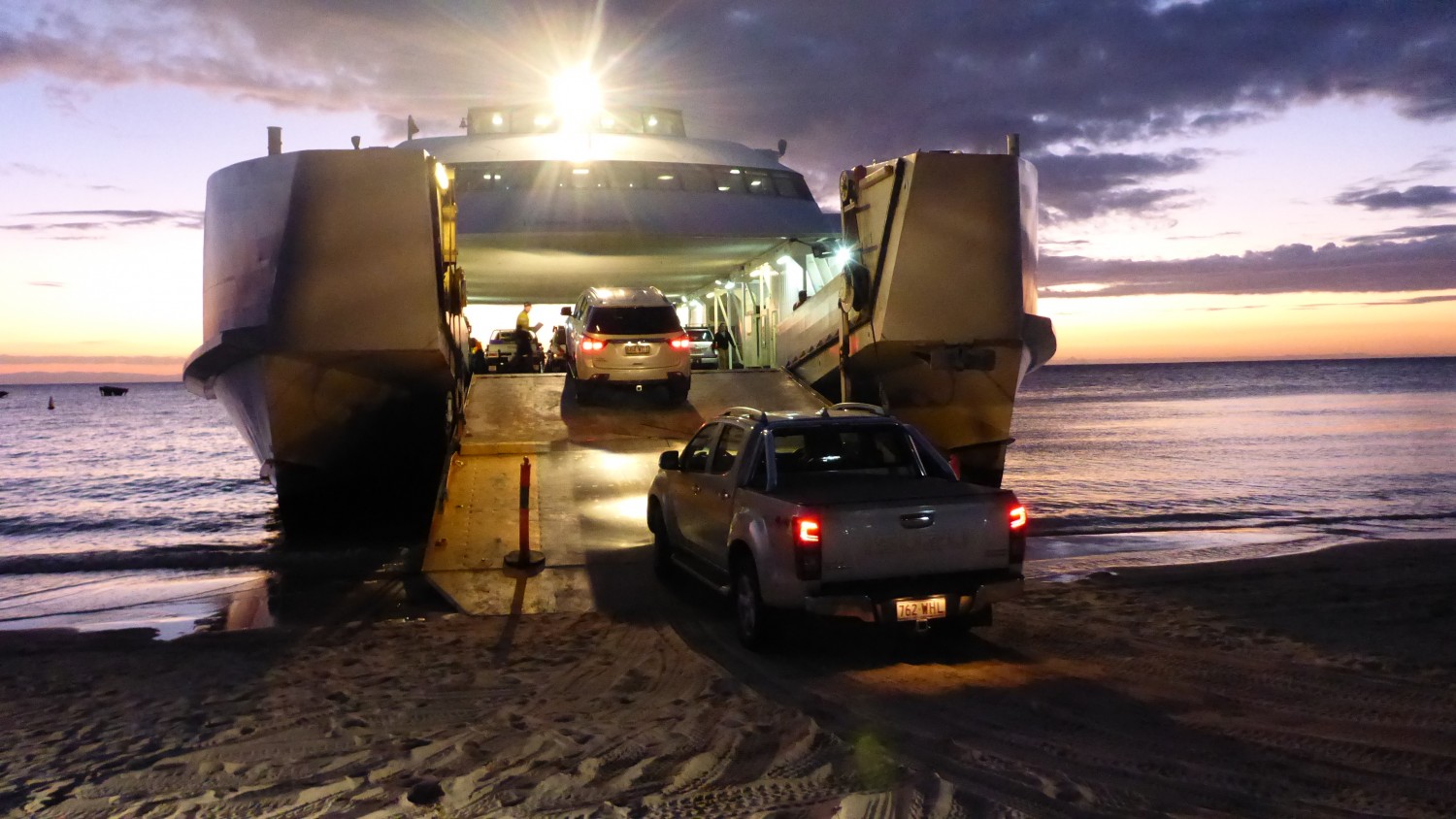
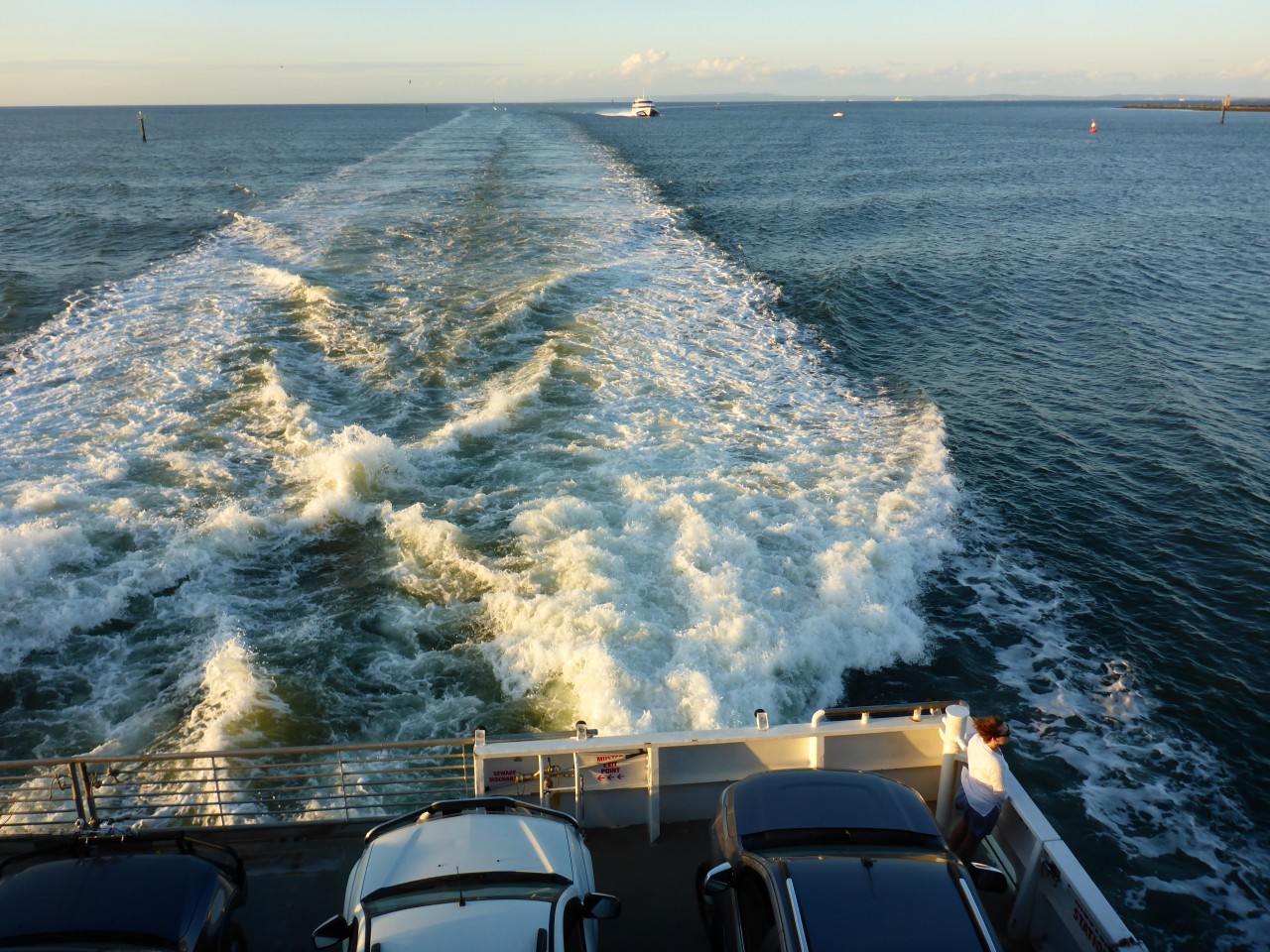
Last week we hopped on board the MICAT, a 400 passenger car ferry operating between Port of Brisbane and the gorgeous Moreton Island. We’ve successfully navigated up to the hamlet of Bulwer where Moreton Island Adventures (MIA) Castaways operation throws out the welcome mat with great accommodation, meals and drinks… and chocolate brownies!
It’s time to head north to Cape Moreton and beyond… read on!
Now if the tide is low you’ve got a couple of options. One is to head inland and pick up the Bulwer-Blue Lagoon Road to the Bulwer-North Point Road and on up to North Point and Cape Moreton, but that’d be missing out on the beauty of Tailor Bight, the island’s most westerly point, but you’ll only be able to access that on a low tide, so again check the chart before you come over.
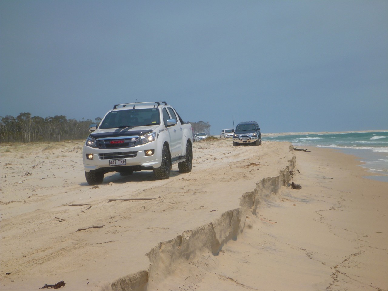
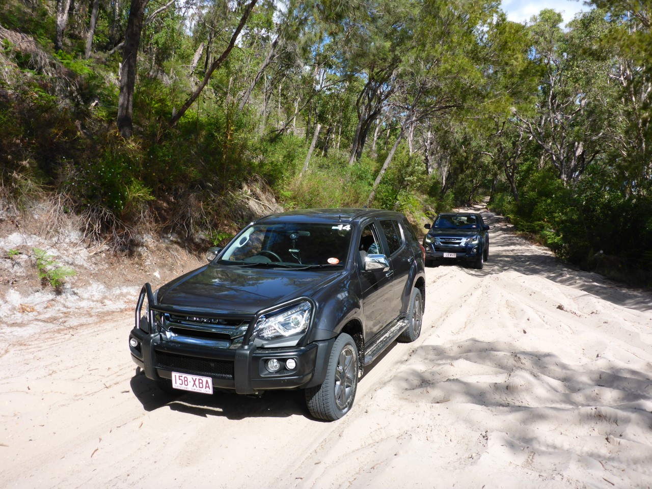
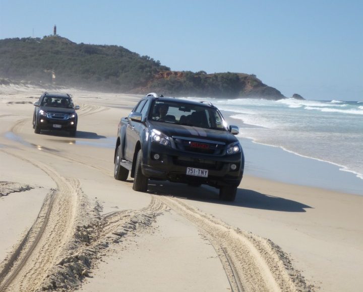
On a couple of my visits I’ve been lucky and the tide has been kind so the journey heading west has been a cinch. From the Bulwer wrecks the beach is in the shelter of the peninsula, so the going is pretty easy and then once around the corner is quite a sight, a stretch of beach where over decades if not centuries, sand has been captured from its southern drift and parked here in a broad expanse, a Tassie-shaped wedge of white sands.
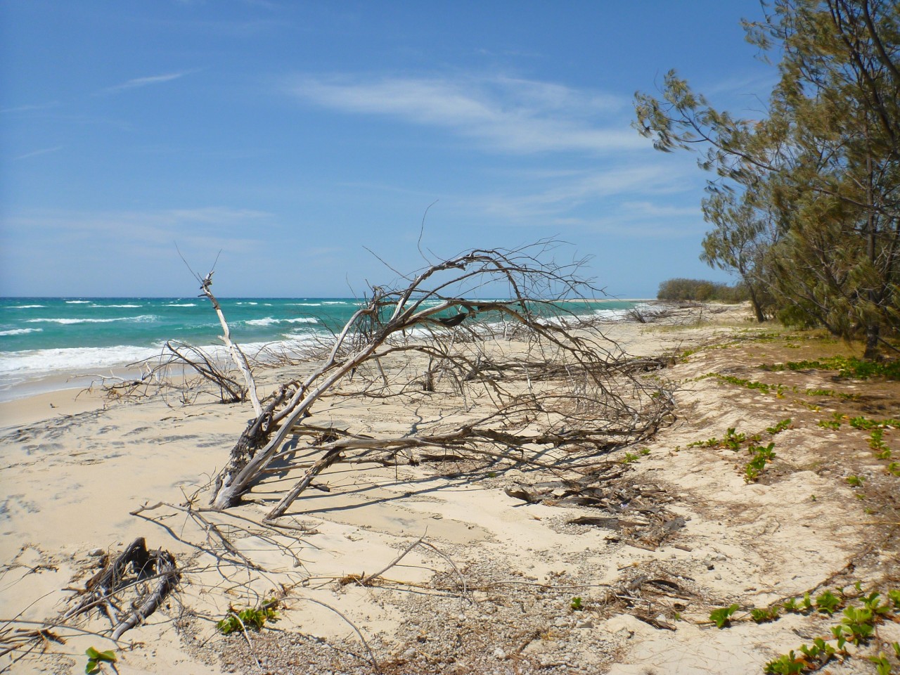
Following the perimeter of the build-up at the waters-edge and now heading north-east you’ll find the vegetation once more fringing the beach, a line of casuarinas (she-oaks) stands as a bastion against big seas and holding the fore-dune together.
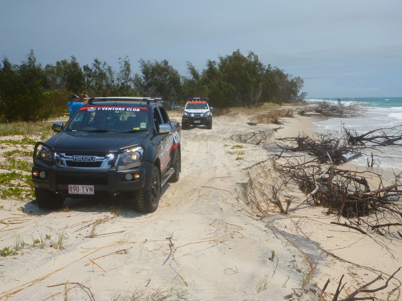
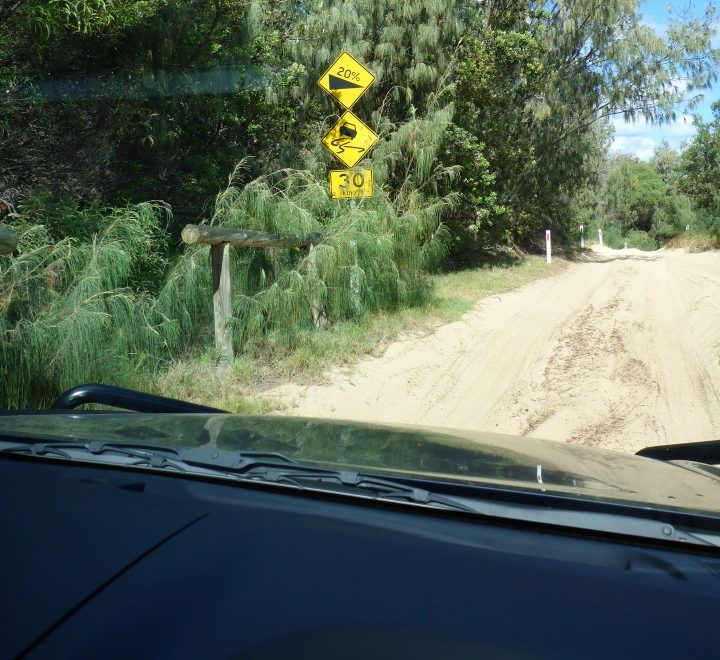
The track is largely navigable along the beach, but if the tide is on the move and you’re getting hemmed in, there is a track that weaves in and out of this beautiful forest of whispering trees and might be your get-out-of-gaol-free card!
Not far up the beach you’ll come across a junction with a sign pointing inland that links Tailor Bight with the Bulwer-North Point Road. Whilst there is a track that heads further north-east along the beach it’s impassable if you’re trying to get to Yellow Patch via the coast as a network of lagoons with fingers of sand give the illusion of there being a way through, but no passage. I’m told by MIA’s local guide Nathan Driver that there’s more than one 4WD been lost to the sands and tide around there.
Heading east and inland the track skirts one of the freshwater swamps that occupy the lower-lying areas of the island, the track weaving in and out of the casuarina and later melaleuca (paperbark) forests. It’s a great visual display of the diversity of plant life here and there’s more to come.
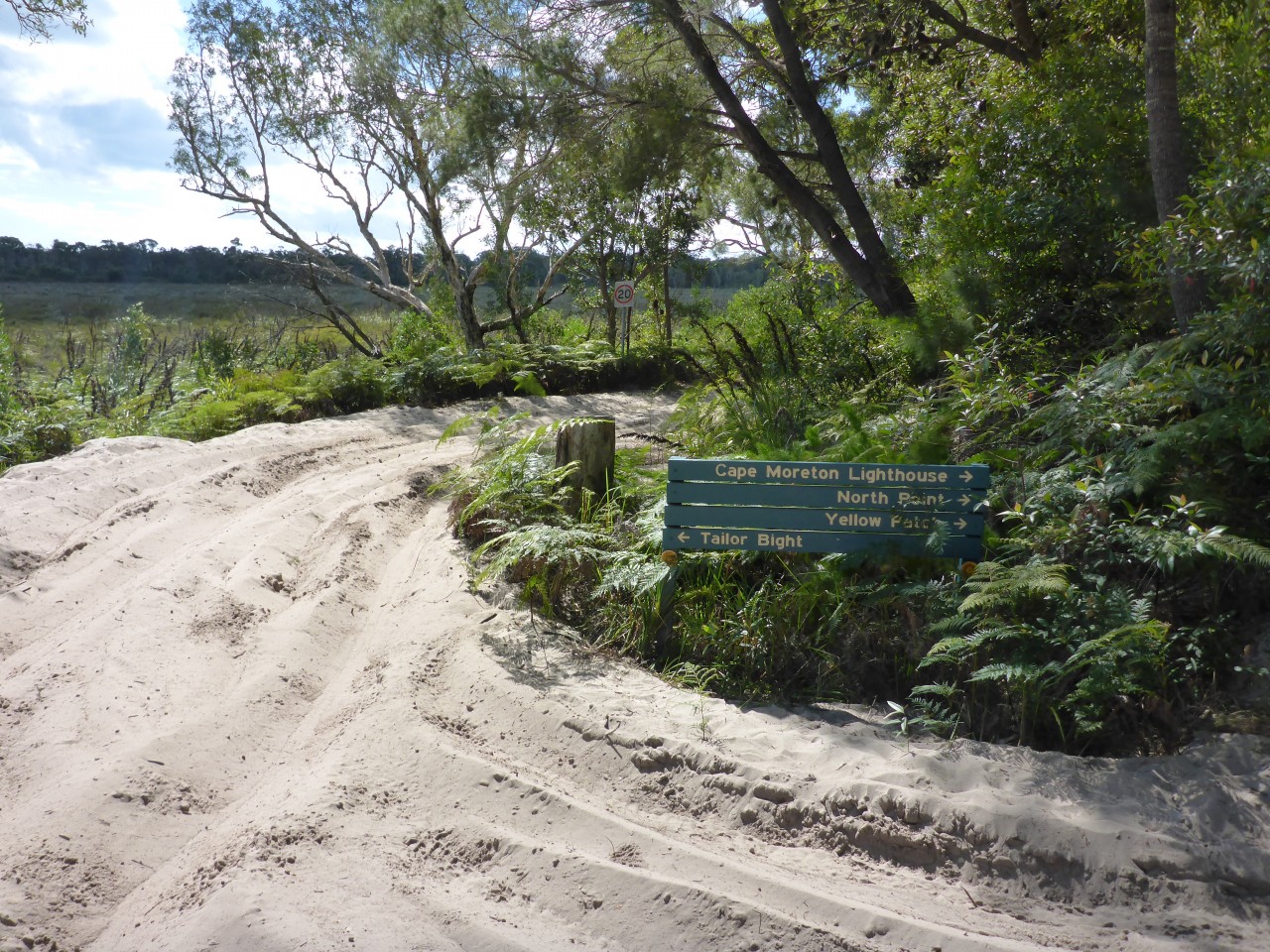
Ten minutes later and you’re at the first intersection with a sharp hairpin left that’ll get you on the link track to the Bulwer-North Point Road and posted North Point and Yellow Patch. Exercise a little caution here as the sand will be churned up and you might get a surprise in the form of another vehicle heading south!
Up the way a few short minutes and another intersection flags the North Point Road and Yellow Patch again. The track north-east here is relatively easy and broad in parts and whilst sandy is pretty easy to manage, just watch out for the odd calcrete step, a limestone-looking material that is rock-hard that peppers the track in places. This is also where a significant change occurs in the plant life.
As this corner is the highest on the island the veg cops a battering with the wind, the banksia and yakka beaten into submission. Coupled with the poor nutrients in the soil they struggle compared to elsewhere on the island where’s there’s a bit more protection. The MIA guides call it their bonsai garden because everything around here is in miniature.
If you keep your eyes peeled along this section of track as we go past the walking trail for Five Hills, which has a panoramic view over the lagoons and sand finger peninsulas of Heath Island, you’ll see the remnant posts of the old telegraph line that went up to the lighthouse at Cape Moreton which you might pick out in the distance on your right.
A little further ahead is a cutting that runs out to the headland, a mere 150 metres on your left and a sandy drop will take you down to the beach below at Yellow Patch. Now Yellow Patch’s name has had me puzzled and in the absence of a better explanation, I reckon it’s either got to refer to the beautiful beach along here caught in a late-afternoon light or the tannin-soaked waterholes that fringe the bases of the dunes here? Someone will correct me I’m sure, but in the meantime, this is one pretty spot as the surfer in me can see its potential.
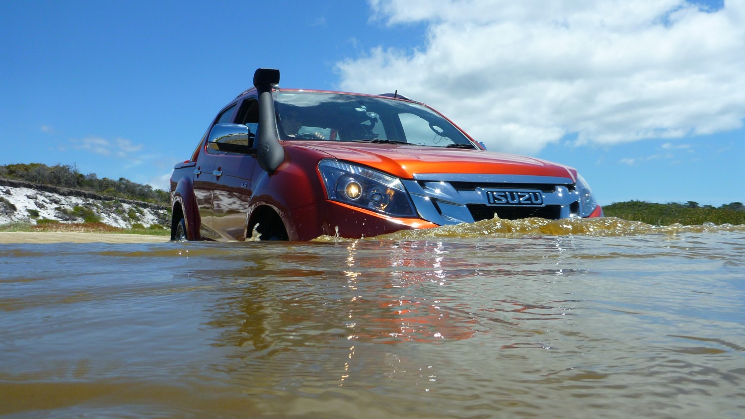
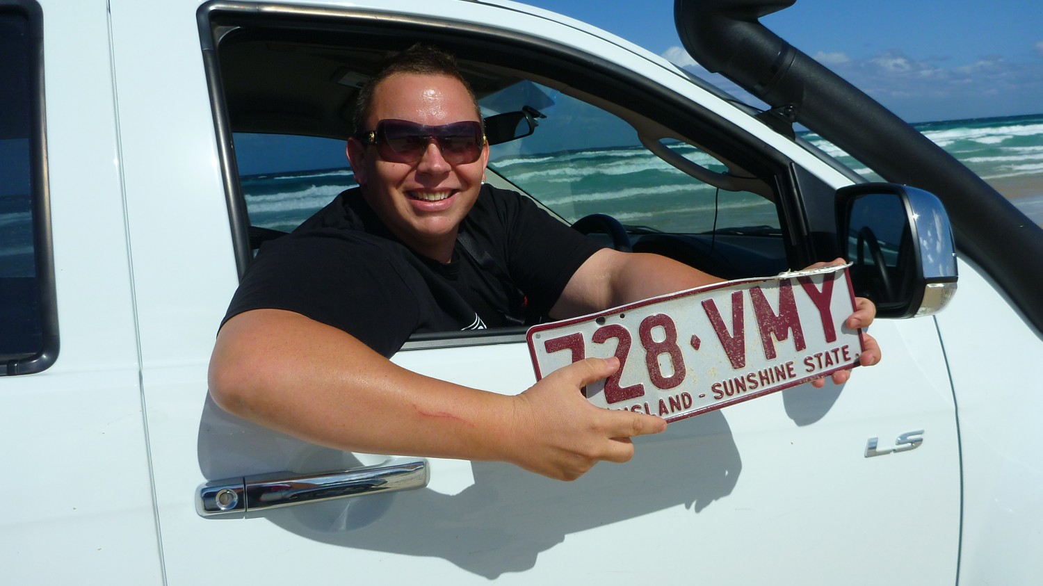
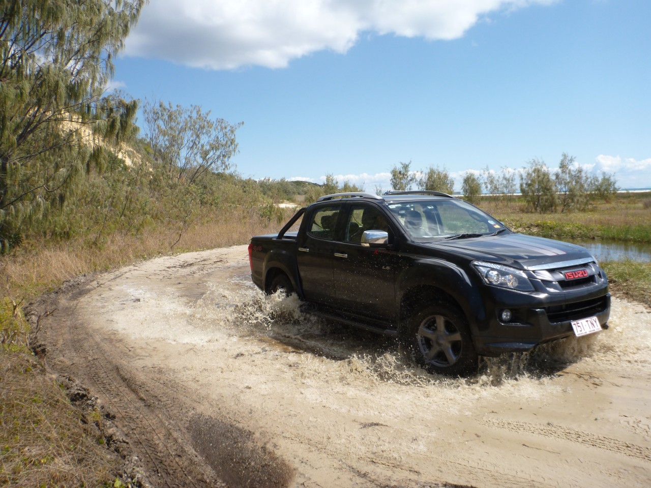
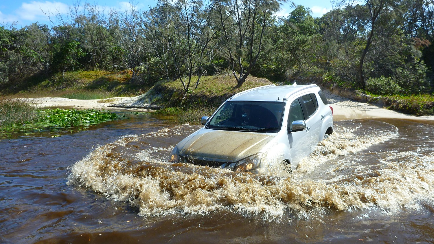
Depending on the time of year and how much rain has fallen, these waterholes might be either empty or full. Some of them in my visits have held headlight-high water so you need to have a look before you go plunging into their murky depths only to have your motor go bang! Oh and another point on crossing water here or elsewhere. Your front number-plate is likely secured at the top with a couple of screws. Hit the water with enough force and it’ll peel the plate clean off your car, so the rule of thumb is easy-in, easy-out. I reckon there’s a rich supply of alloy now at the base of that first waterhole where excitement has overtaken common-sense!
From the rocky head at North Point and nearby Honeymoon Bay is a beautiful arc of beach back to Yellow Patch. Fringed with Pandanus and Casuarina to lend a little tropical feel to the ambiance is a right-hander, that could on a day of decent swell and an offshore south-easterly, turn into a ride of a couple of hundred metres easy. I could just imagine catching ride after ride, stepping off the board at the bottom end and running back to the top of the beach, paddling out a short distance and doing it all over again. Nice.
It’ll be this section of beach where you’ll likely find a lot of beachgoers either swimmers or fisher-folk and likely little people too. One thing I have noted in my travels around the country is the sound of the waves makes it awfully hard to hear the approach of a vehicle on a beach so please exercise some caution if humans are about.
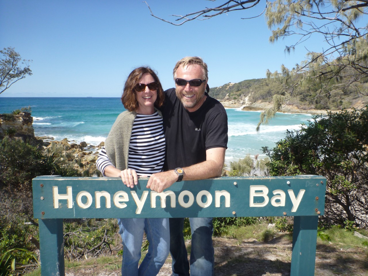
Between winter 2016 and 2017 there’s been a substantial amount of erosion along here, the beach and parking space just adjacent to Champagne Pools has largely disappeared, so it’s a walk of a hundred metres or so to soak up the waves that gently crash over the rocks and fill up the pools and make for a nice foaming lather to sit in. Honeymoon Bay is a short walk over the headland here with a delightful cove with a million-dollar view towards Cape Moreton.
Just inland from here and off the Cape Moreton link track is another campground (North Point) that’s nestled out of the weather in case there’s a rip-roaring westerly blowing in off the sea. The grassed sites are plentiful and it’s serviced with a decent toilet block. I dived in here once for lunch after a ripper of a storm blew in and it was pleasantly calm compared to the full fury unleashed on the beach minutes before.
Roughly a kilometre up the track is the sentinel of Cape Moreton the lighthouse built of local sandstone and the oldest site in the State for a beacon first lit in 1857. The Moreton Bay entrance is littered with wrecks, so the Government of the day had to provide some decent navigation for all weathers. Built with convict labour the original lamp was an oil wick (I wonder if fed with whale oil from the Tangalooma Whaling Station where humpbacks were flensed and oil extracted for industry?), later replaced by an acetylene gas light in 1930 and ultimately electricity provided the power from 1937. Fifty years later the light was fully automated and solar power added, the array having been just upgraded over this past summer with a diesel generator backup that services the Government accommodation atop the hill as well as the telemetry seen there.
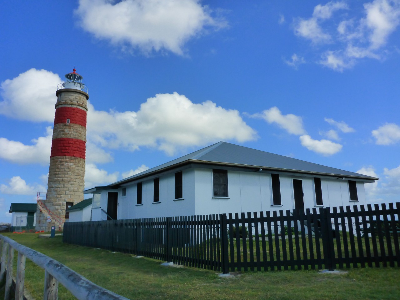
There’s a car park that sits just below the interpretive centre, a building full of fascinating pictures of the lighthouse and its surrounds from yesteryear and an explanation of the National Park and its charter for protection and preservation.
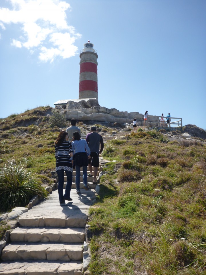
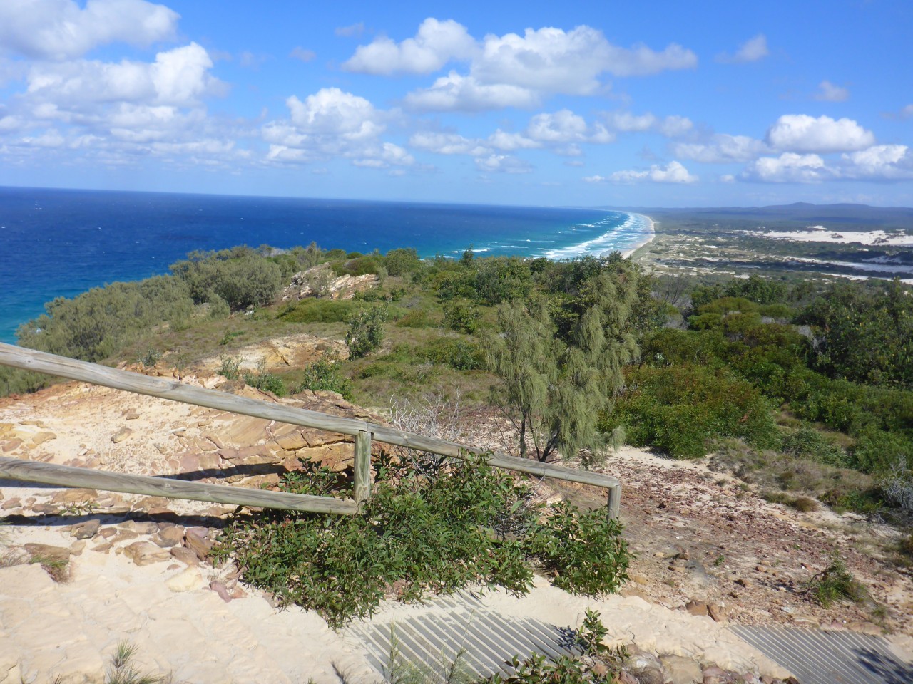
The walk to the lighthouse summit is easy a stepped path winds its way up the hill to the base of the stone tower where an imperious view of the eastern ocean beach rolls south as far as the eye can see. It’s a glorious view that is high enough to reveal both eastern and western flanks of the island and the beautiful green wedge of forest that holds the sand together.
Now again depending on the time of year you might have a sea that’s calm with brilliant visibility that’ll reveal dolphins and turtles and big fish and the biggest might be migrating humpbacks stopping off to frolic off the headland here. Between June and November, there are around 15,000 of the buggers passing by and the spectacle is amazing when they breach. Imagine the energy required to push from the depths, near-vertical, bursting through the surface and launching a 12-15 metres length animal weighing up to 36,000kgs in a courtship dance just to impress your girl? They do this over and over again in the waters off the lighthouse here and it’s quite a sight.
Humpbacks were hunted to near-extinction until an international moratorium in 1996 saved their fate. The whaling station at Tangalooma was well-positioned for the capture of humpbacks and in its short decade of operation (1952-1962) slaughtered 6,277 humpbacks and a solitary blue whale. That was never going to be a sustainable enterprise and in its place now at the same site is the Tangalooma Resort, funnily enough with a charter of whale watching rather than processing.
Back in the car and it’s time to head down the hill to the intersection that’ll take you down to the ocean beach and the eastern side of the island. The descent to the water’s edge is steep and National Parks have installed concrete blocks in the track to stabilise it, so grip will never be a problem.
Once on the beach you’ll see the brilliant ochre hues in the sandstone wall at the head of the beach on the backside of Cape Cliff called Harpers, a spot where I’d reckon you’d catch some fish in the gutter I’ve seen there just off the beach and in casting distance.
 If you walk up into the rock face there are some pretty neat formations above as the rain has eroded the bare red walls into unusual shapes leaving a legacy that some might suggest is almost lunar-like.
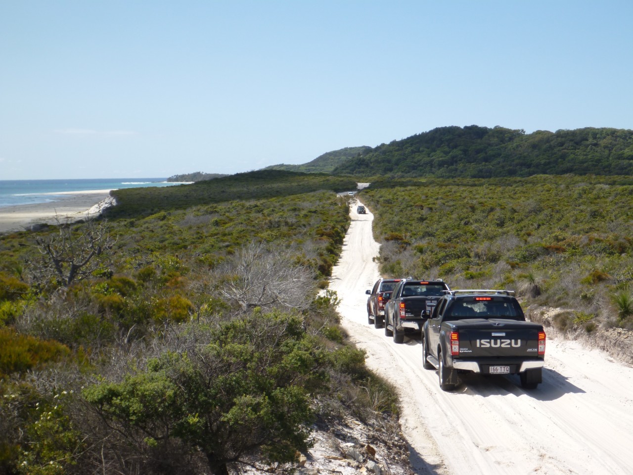
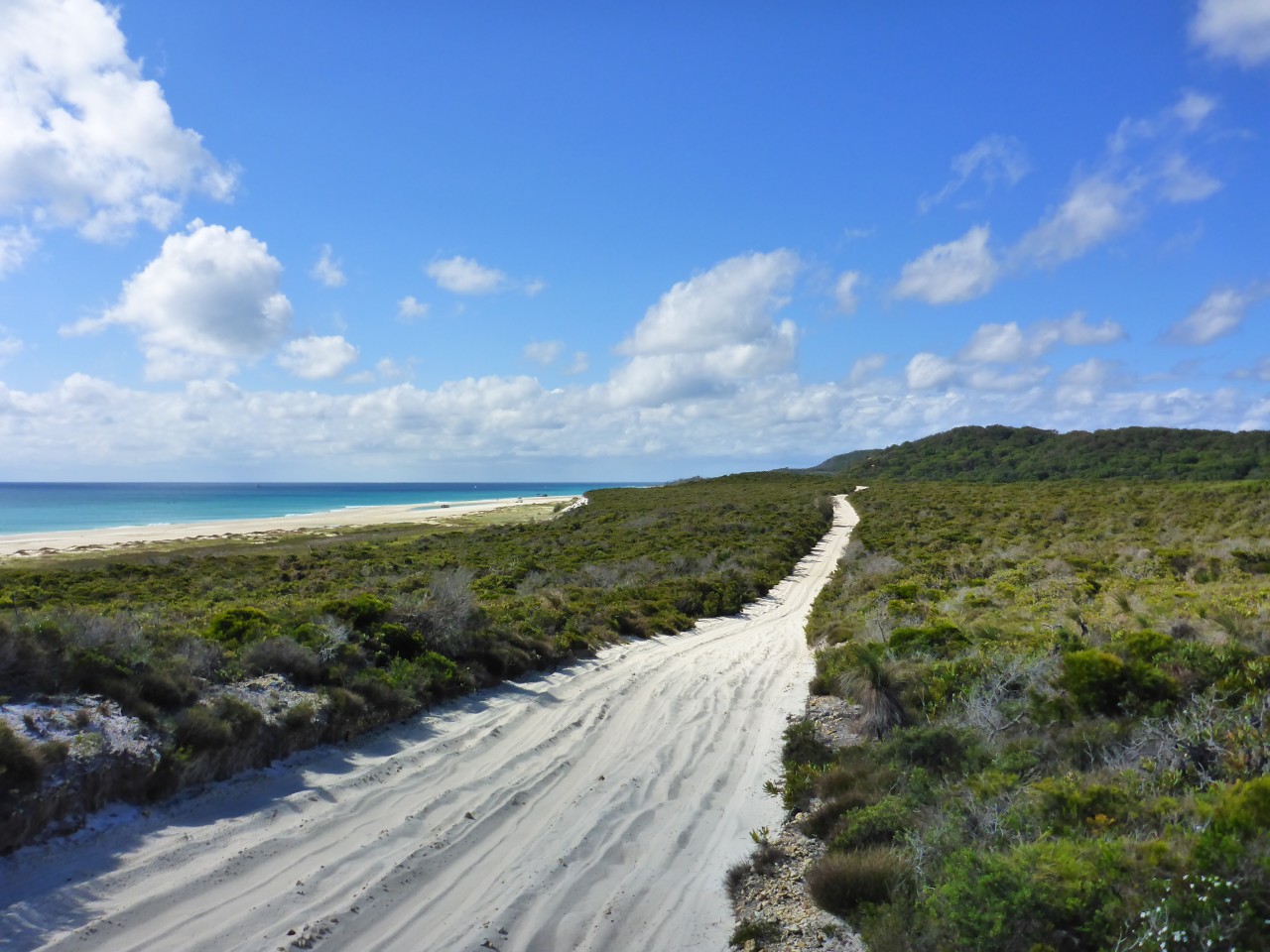
Heading south from here you’ve got a magnificent broad beach that stretches twenty-odd kilometres down to the Middle Road exit. It’s usually navigable but there’s the potential on a king tide coupled to a vicious onshore wind that the waves will bang up against the fore-dune leaving you nowhere to go other than to retrace your steps.
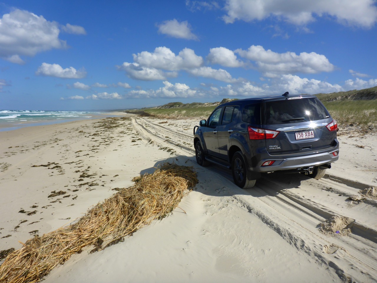
The typical rules of beach driving apply here, not too fast, watch out for the numerous creek depressions that intersect the track, keep an eye out for other road users and the distractions of the wonderful nature that is all around you.
The locals employ their indicators when on the beaches, left means you intend staying left and right means you’re staying right. Couldn’t be simpler I reckon!
You’ll go past Spitfire Creek and through this section, you might be rewarded with the sight of a pair of eagles that cruise the skies above the fore-dune. The White Bellied Sea Eagle is a magnificent bird of prey with a wingspan of over 2 metres and a keen eye picking fish and other delights that it will feed on from a great height. It looks a lot like a wedgie with the distinctively shaped tail feathers, but the plumage is white apart for the wing uppers. This pair is so predictable a sighting when I’m running down the beach that I often wonder whether there’s a tripwire in the sand that activates them!
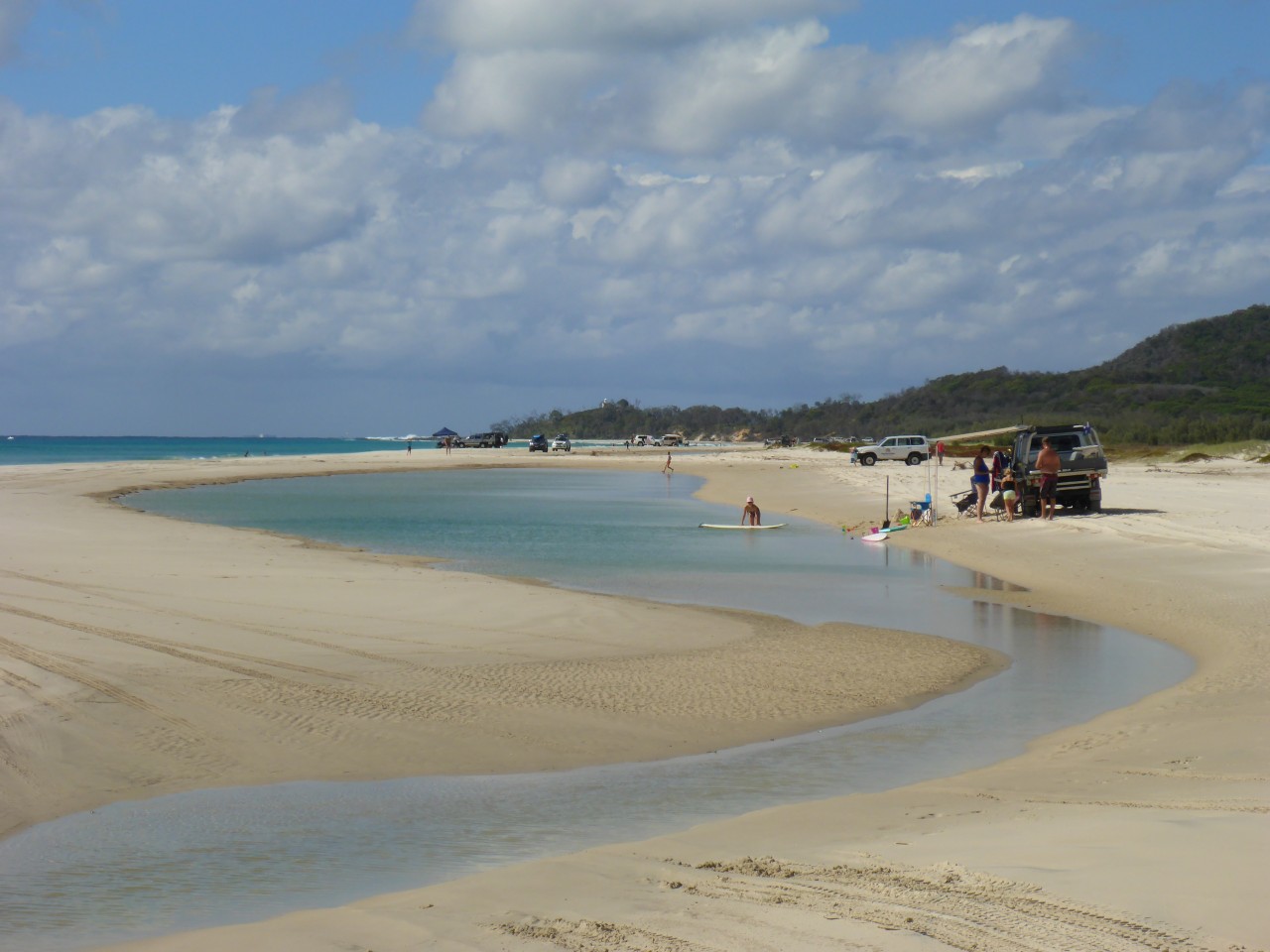
Not far away you’ll notice a cutting in the sandhills on the right with a signpost flagging Blue Lagoon. There’s a short drive into a parking area and a short walk from there to the edge of the lake, an incredible freshwater lagoon set amongst tea-tree, yakka and banksia. The waters are stained with the tannins from the local plants but it’s fresh and pure and great for rinsing off the salt after a day or two camping out. Best not bring any soap or shampoos though, need to keep it pristine. Lolling around on a sunny day on a blow-up mattress is pretty heavenly or if the kids have got an inflatable ring they’ll be happy as Larry.
There’s another waterhole not far away too called Honeyeater Lake, accessed off the Bulwer-Blue Lagoon Road. If you were camping at Blue Lagoon it makes an excellent short walk for a bit of variety.
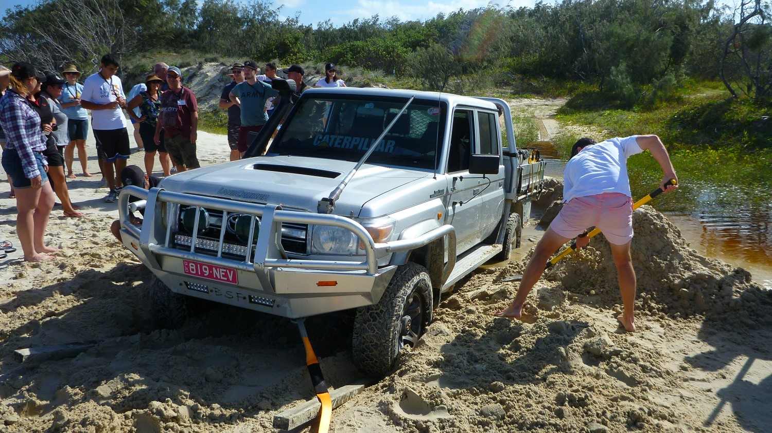
Right along this section are a bunch of beautiful campsites perched up high in the fore-dune tucked away out of the wind in amongst the lee of the sandhills and the sheoaks. The linking track has numerous entry and exit points along the beach so finding one won’t be difficult but sometimes the exits adjacent to the creeks might be a bit soggy. We came across one bloke with a 70 series pretty stuck, bellied out on a super-saturated bit of sand. Amazing what you can do with a couple of MaxTrax and a snatch-strap! There’ll be an occasional freshwater soak too so check the depth before you take the plunge!
Further south you’ll arrive at a section of beach called Eagers with a couple of creek tributaries running out to sea from the fore-dune and just beyond that are the double Middle Roads. I say double because there’s an up track and a down track which are one way only.
Story has it that they were created at the same time that the gun emplacements went in so equipment could be ferried across the island without disruption and traffic jams. The Rous Battery, another WW2 installation had to be built (located another twenty-odd kilometres south and near the Big and Little Sandhills) so these roads made that possible.
The exit off the beach is usually pretty predictable with the track through the first couple of hundred metres of scrub often pretty lumpy with lots of whoop-de-dos so you won’t be going too fast through there.
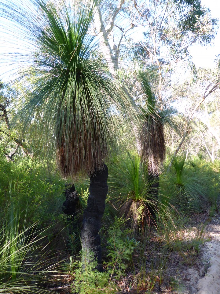
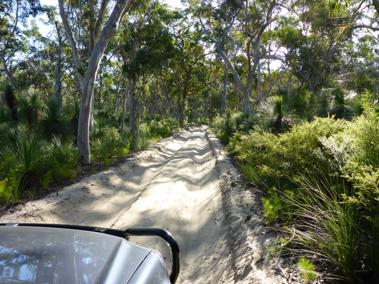
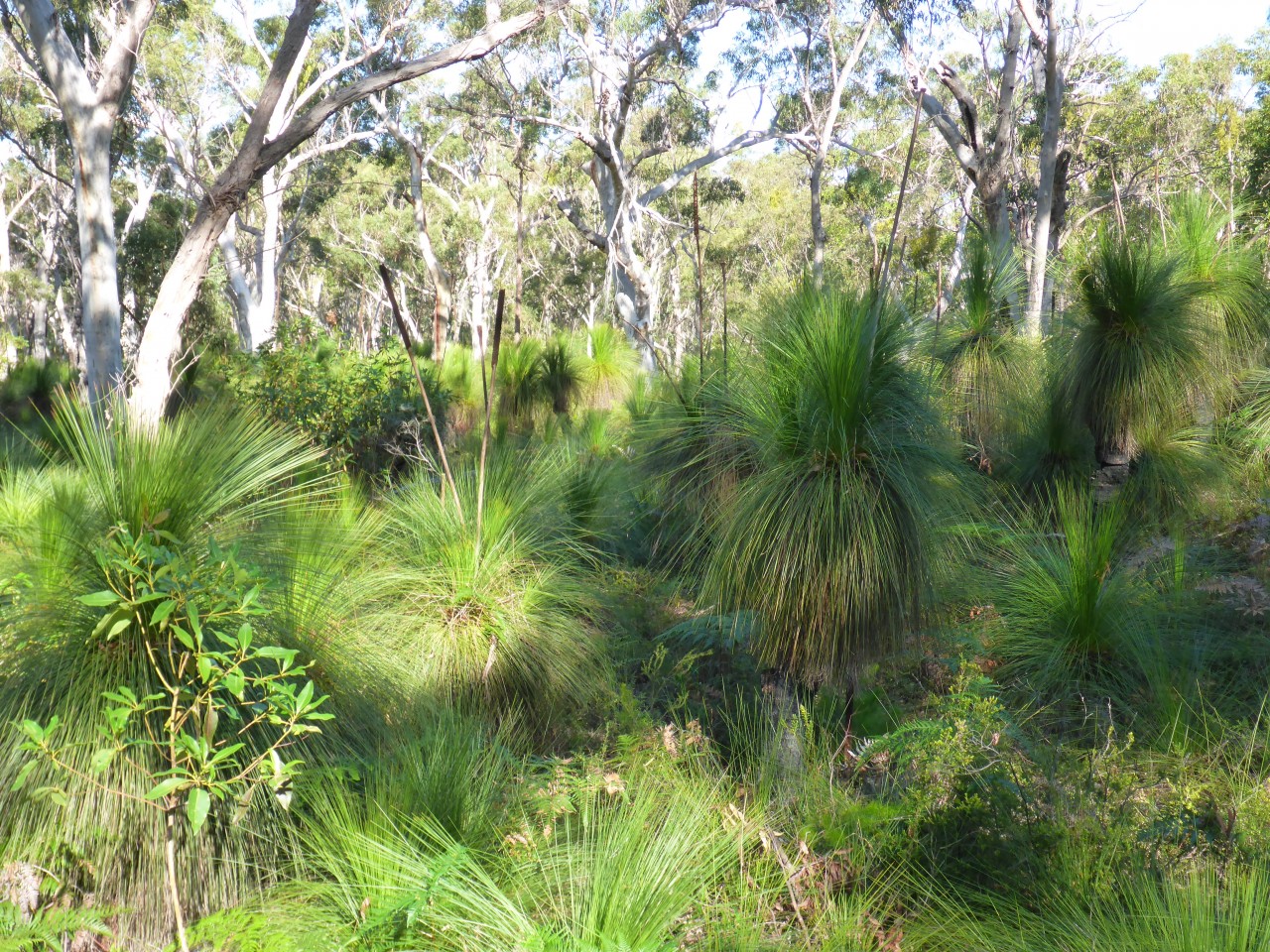
Now one of the most beautiful parts of the island starts to emerge, the inland forest, a dense canopy of scribbly gums holding station over banksia and ancient yakka, a couple I saw reaching near two metres in height suggesting they’ve been on the planet a long, long time. It’s a pity that there’s no place to get off the track and go for a bit of a wander here because to borrow a phrase, you can really “feel the serenity” here if you turn the motor off for a few minutes. The calls of birds in the trees, the wind rustling through the trees is nicely serene. Oh well, it might be an excuse for a hike as distance-wise it’s not that far from either coast.
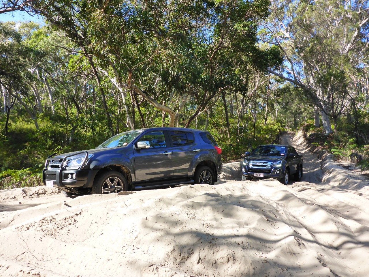
The track has had a lot of vehicles over it in its near-seventy year use and it’s an amazing sight to be nestled low in the eroded track space with the yellow sands of the track cutting alongside at arm’s length. There is a gradual incline and in the heat of a dry summer, the going can be pretty troublesome, so much so that some more tyre pressure reduction might be warranted.
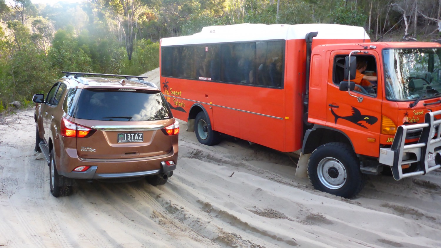
This might be especially the case at the turn-off for The Desert via the Tangalooma Bypass Track. This trail follows the contours of the vegetated dunes as it swings left and right through the gullies and the bracken fern and ultimately reaches the car park at the sandhills. That track is also is the route for the 4WD tour buses and might is right… you’ll need to make way for them if you meet them along the way.
The Desert is the place to be if you happen to have a snowboard (WTF) or a long piece of Masonite. A short walk into the sand hill precinct there reveals one big towering wall of sand and lined up like Cloudbreak in Fiji poised to barrel! With your snowboard attached to your feet or you’re planked up on the Masonite, it’s time to tip over the edge and hang on for a ride to the base, a short but exhilarating drop to the floor below. Excellent fun!
If the sand-boarding wasn’t for you, you would have continued on at the Tangalooma Bypass Track and emerged back on the beach just north of The Wrecks where the MICAT pulls up. Whilst this circuit is do-able in a day, it’s a big day and to make for a far better experience you really should book yourself in for a week or at the very least a long weekend.
For a southerner who’s spent his whole life chasing fish and waves in SA and VIC with colder water and having travelled bits of WA’s coast and loved every moment, there’s something different about the Moreton experience and doing it in the Tropics. It’s another of the 4WD Gods best offerings!
Thanks go to Moreton Island Adventures for the assistance provided in making this story possible and a big thank you to MIA’s CEO Roz Shaw, who explains on her business card that CEO really means Chief Escape Officer!
Also thanks to both Emma Glynn MIA’s Commercial Tourism Manager and Nathan Driver MIA Guide Extraordinaire for your assistance over the last couple of years in the compilation of this story.


GIPHY App Key not set. Please check settings